Climate change will lead to rising temperatures, decreased summer precipitation, and heightened risks of flooding, landslides, and mudflows across the Kura River basin.
Sea-news.az reports that these projections were published in a report by the Asian Development Bank (ADB) titled “Glaciers to Farms: Climate Risk and Capacity Assessment and Recommendations.”
According to the study, winter temperatures in the Kura basin could rise by approximately 1°C by 2035 and up to 5°C by 2085.
While a minor increase in precipitation is expected during autumn and winter months, spring and summer seasons are projected to become significantly drier. Summer temperatures could increase by up to 5°C, accompanied by a reduction in rainfall of up to 20 percent.
The report notes that such climatic shifts could increase the frequency of landslides, flash floods, mudflows, and glacial lake outburst floods (GLOFs) within Georgia. Additionally, an increased incidence of rain-on-snow events during winter months risks accelerating rapid runoff and intensifying downstream flood severity.
The document highlights that glacial retreat is widespread across the Kura basin, which is also characterized by smaller glaciers with unstable snowpack. In late summer, river flow relies heavily on snowmelt, while permafrost zones remain restricted to limited high-altitude areas.
The study was conducted under the “Glaciers to Farms” (G2F) program, designed to evaluate climate risks impacting water resources and agricultural productivity across Central and West Asia.
With support from the Green Climate Fund (GCF), the ADB assessed glacier melt risks across four pilot river basins: the Kura, Naryn, Panj, and Swat.
The evaluation relied on an analysis of 40 years of historical meteorological data, mapping spatial and temporal shifts in temperature alongside rainfall and snowfall patterns in both mountainous and lowland regions.
The G2F initiative aims to supplement existing national climate risk assessments conducted by the ADB, contributing to long-term water security and agricultural resilience in regions experiencing rapid glacial retreat.
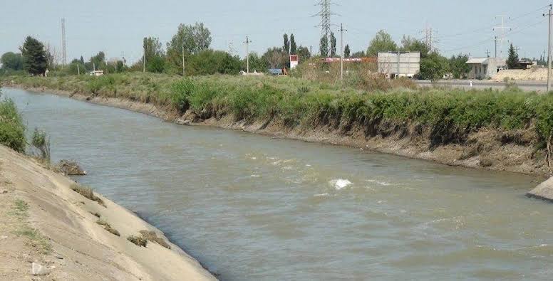
The Kura River is the largest waterway in the South Caucasus, stretching a total length of 1,515 kilometers—906 kilometers of which flow through Azerbaijan. The total catchment area of the basin spans 188,000 square kilometers.
Originating on the northeastern slope of Mount Gizilgedik in the Kars province of Turkey at an elevation of 2,740 meters, the river traverses Turkey, Georgia, and Azerbaijan before discharging into the Caspian Sea.
The Kura’s water volume is replenished by multiple sources: snowmelt accounts for 36 percent, groundwater contributes 30 percent, rainfall provides 20 percent, and glacial melt supplies the remaining 14 percent.