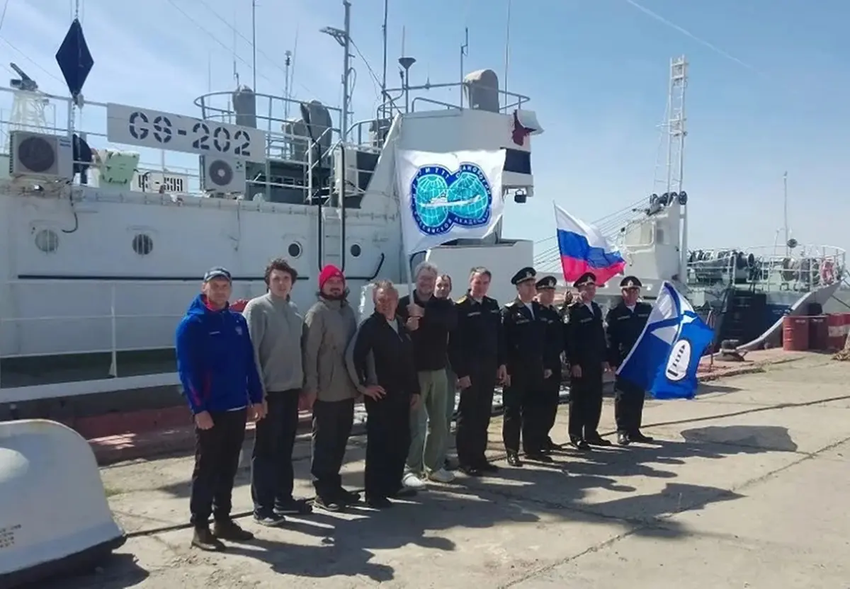
Research conducted by the “New Delta 2026” expedition confirms that the declining water level trend in the northern Caspian Sea is ongoing. The findings were obtained within a scientific mission involving the P. P. Shirshov Institute of Oceanology of the Russian Academy of Sciences, the Astrakhan Biosphere Reserve, and the Hydrographic Service of the Caspian Flotilla.
Measurements carried out in April 2026 in the Volga–Caspian Shipping Canal and the northern Caspian waters revealed noticeable changes in the coastline. According to scientists, the retreat of water has led to the expansion of certain islands.
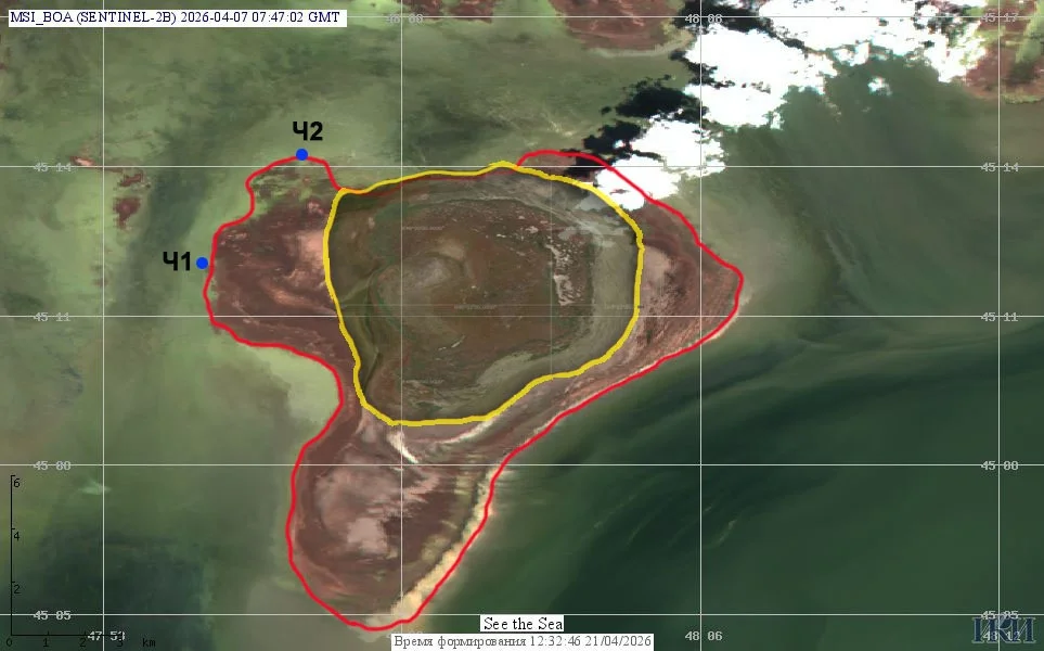
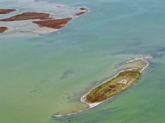
Data shows that the area of “Chistoy Banki” Island has roughly doubled since 2019. Another emerging island in the Tbilisi Banki area has tripled in size over the past year. These changes are associated not only with the falling sea level but also with water recession processes and drying dynamics in coastal zones.
During the expedition, side-scan sonars and multibeam echo sounders were used to study seabed topography and current directions. The results indicate that water masses in the northern Caspian generally move from southwest to northeast, influenced by river inflow and seasonal meteorological conditions.
In addition, water samples were collected for laboratory analysis, focusing on suspended and biogenic substances.
According to expedition leader Ivan Yermakov, the results confirm a continuing downward trend in the Caspian Sea level, emphasizing the need for continuous monitoring of the situation.